The project aspires to create an expert system of knowledge in the form of a web portal whose main component will be a set of on-line tools for digitalisation, processing, publicising and, in particular, utilising of old maps, plans, atlases and globes. An open on-line database of old cartographic works will represent another important component. This system will also involve publicising of methodology and technological procedures which will be created in the course of the project. Creation of the mentioned expert system will provide new-generation services to the scholarly and amateur community.
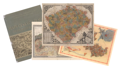
Software for automatic recognition of objects in a raster image file will represent the greatest tool in the tool set. This will allow the user to efficiently compare and automatically analyse alterations on a map with regard to temporality on maps of different publications. The most significant tested materials will involve special maps of the 3rd military survey 1:75 000 from the 1880s and after 1918 which capture transformations of the landscape during industrialisation, a Czech equivalent " Detailed Maps of the of the Bohemian Crownlands 1:75,000" by Josef Bělohlav from the early 20th century, plans of Prague, other cartographic sources and, for educational purposes old atlases including globes particularly from the collection of the Institute of History AS CR.
Together with the mentioned cartographic sources processed by new on-line tools, the web portal will include a guide through a historical landscape with the title " Virtuality and Reality - an Image of the Czech Historical and Contemporary Landscape" which will present selected examples of landscape transformations from the Middle Ages untill the 20th century.